|
THE SOURCE OF THE MISSOURI RIVER
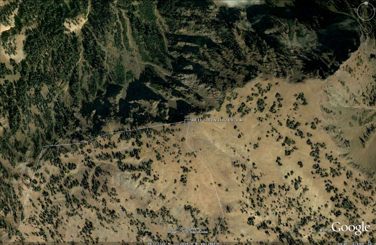
The source of the Missouri River, the longest river in the USA, is
at coordinates 44o 33' 27.01" N and 111o 28' 9.74" W, and
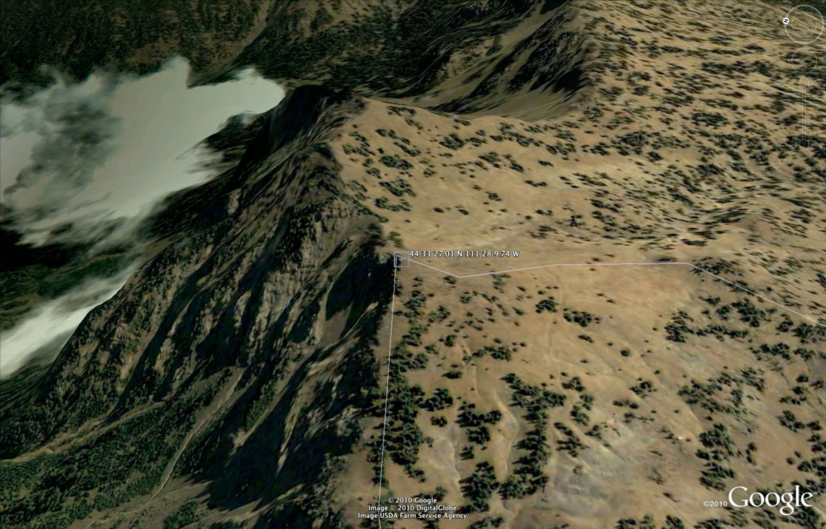
at elevation 2,864 m (9,396 ft) (Fig. 1), at the Continental Divide (Fig. 2),
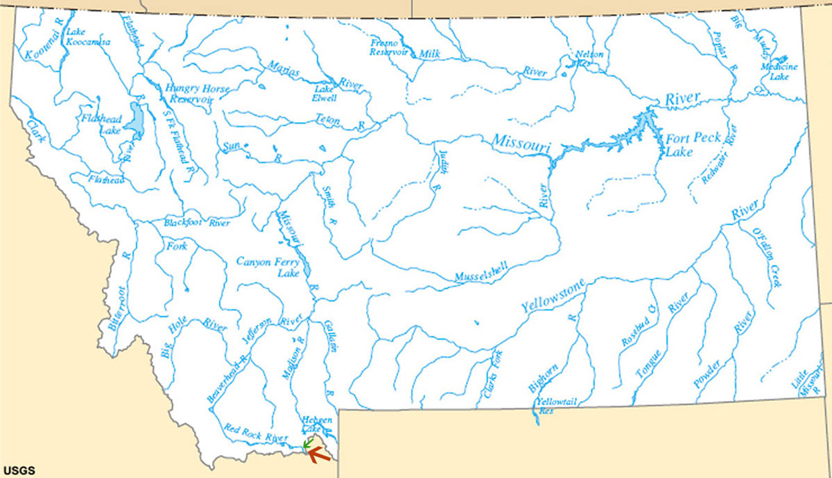
at the border between Montana and Idaho (Fig. 3),
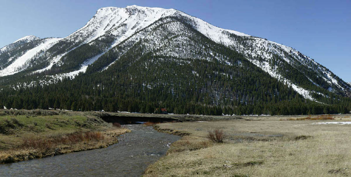
in the headwaters of Hell Roaring Creek (Fig. 4). The latter is
a tributary of the Red Rock River, a tributary of the Beaverhead River, a tributary of the Jefferson River, a tributary of the
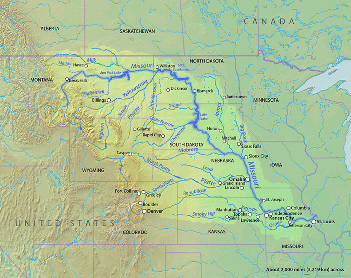
Missouri River (Fig. 5).
A stream/river source is the farthest point/location from where surface runoff collects to form the
headwater stream.
| |||||||||||||||||||||||||||
|
| Fig. 1 Aerial view of the source of the Missouri River, at 44o 33' 27.01" N and 111o 28' 9.74" W and 2,864 m elevation [Click on image to enlarge] (Google Earth). |
|
| Fig. 2 Aerial perspective of the source of the Missouri River, looking toward the northeast, at 44o 33' 27.01" N and 111o 28' 9.74" W and 2,864 m elevation [Click on image to enlarge] (Google Earth). |
|
| Fig. 3 Rivers of the state of Montana, with the red arrow pinpointing the source of the Missouri River (U.S. Geological Survey). |
|
| Fig. 4 Hell Roaring Creek, in Montana, at point of green arrow shown in Fig. 3 (Google Earth Panoramio). |
|
| Fig. 5 Missouri river basin (Wikimedia Commons). |
| 100718 |
